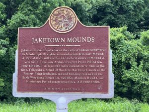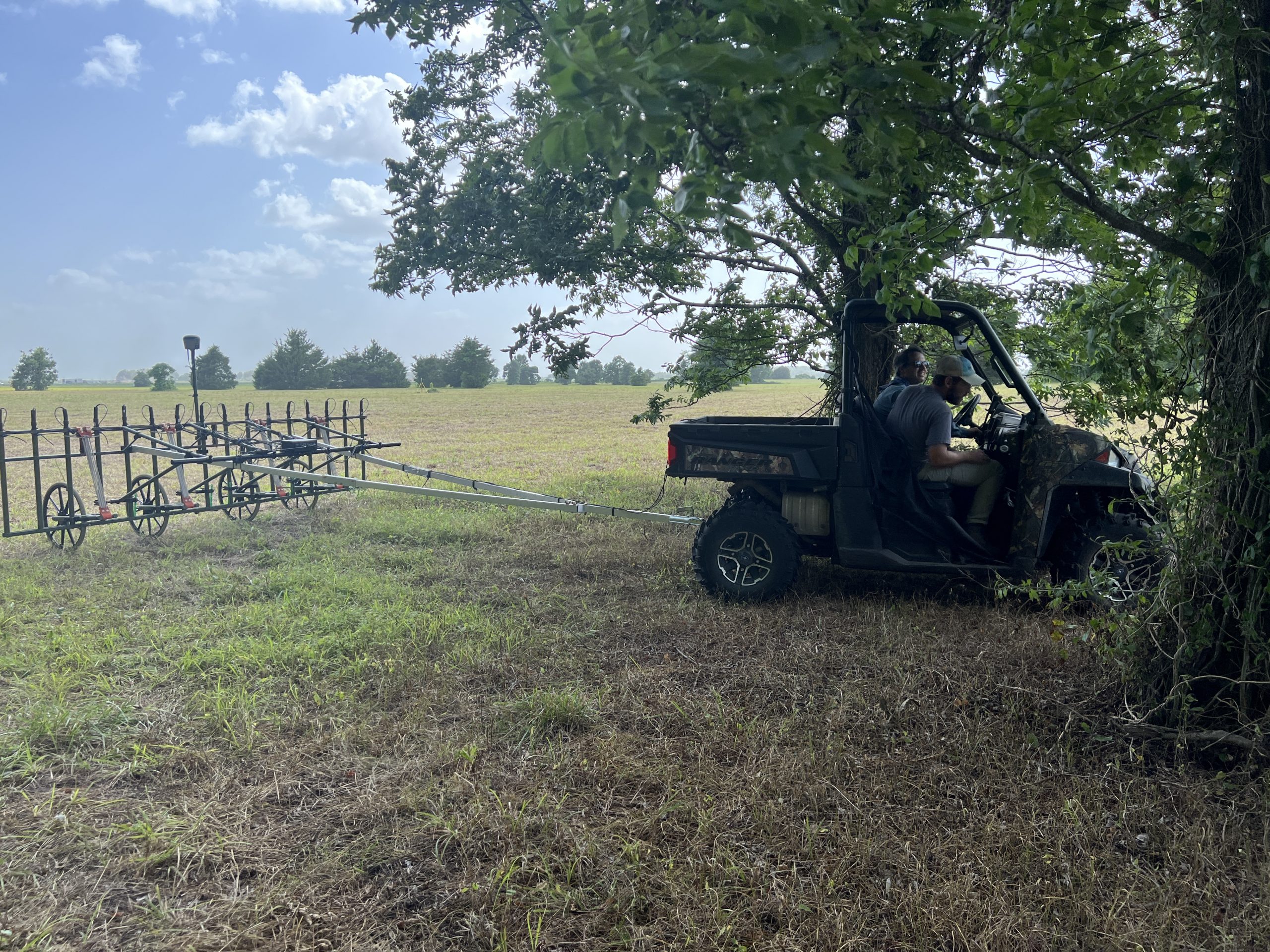
 The Conservancy’s Jaketown site in Mississippi consists of Late Archaic (3800-1000 B.C.) through Mississippian (A.D. 1000-1540) period occupations. In order to develop a better understanding of the occupational layout of the site, researchers from Washington University in St. Louis, the University of Alabama, and Colorado State University spent a week there conducting a geo-physical survey. The crew used a magnetometer with a towable sixteen-sensor configuration and GPS units for referencing the data on a map.
The purpose of the survey, which covered more than seventy acres, was to identify magnetic anomalies in the soil that are related to human occupation at Jaketown, especially during the Woodland and Mississippian eras. Developing a more complete picture of the features related to these later occupations of the site will allow researchers to avoid them when trying to access the deeply buried Archaic-era component. The Archaic component is mostly buried under flood deposits nearly thirteen feet deep, but in some portions of the site it is much closer to the surface.
The researchers identified several features they believe are clay floors that were probably hardened due to fire. Whether the firing was intentional or unintentional is unknown. There are other features that the researchers couldn’t identify, and consequently they will have to be excavated in order to determine what they are. The analysis of the magnetometer data continues, and once completed, the results will be helpful in guiding future research at the site.


