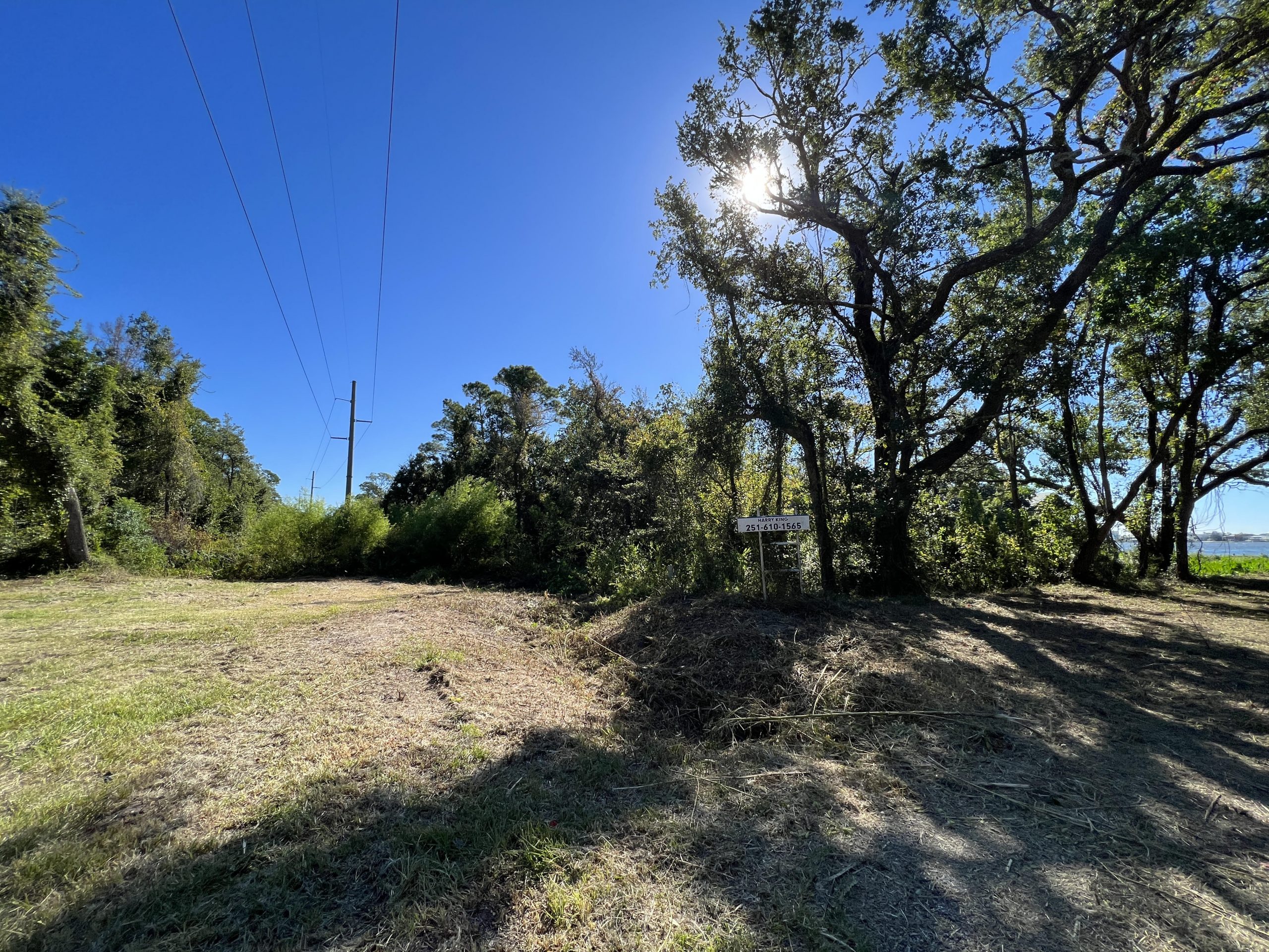
From front to back, Greg Waselkov, Peter Waselkov and Harry King help dig out the Gulf Shores Canal.
Credit: Jessica Crawford / The Archaeological Conservancy
Waterways were the major highways of pre-contact America, and this was especially true in coastal areas like the Alabama Gulf Coast where people depended heavily on coastal wetlands for food, shelter, and raw materials. Native Americans left their mark on the landscape in the form of sand or shell mounds, and their knowledge of local species and tidal systems is evident in the canals and water courts they constructed.
Locals in the Gulf Shores area of the Alabama Gulf Coast have long known about a feature often called “the Indian ditch” that appeared on maps as early as 1826. The same feature was labeled as “vestiges of an old canal,” on a 1935 map by Alabama State Geologist Walter B. Jones. It is shown as a canal or ditch crossing the Fort Morgan peninsula in Gulf Shores, and like those in Florida, it connected two bodies of water. In the case of the Gulf Shores canal, it connected Oyster Bay and Little Lagoon, and those connected Mobile Bay to the Gulf of Mexico.
The canal was recently donated to The Archaeological Conservancy by George C. Meyer Foundation. It is the only known such canal outside of Florida and is 1,300 years old; its rediscovery and preservation of part of it is the result of cooperation among landowners, archaeologists, avocational archaeologists, and the general public.


