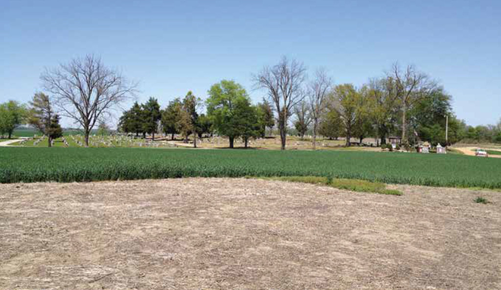
Potter Mound is located on the Little River in the northeast portion of Arkansas. This area is dense with mound sites, most of which date to the Parkin Phase (approximately A.D. 1350 to 1560) of the Mississippian period. This phase takes its name from Parkin, the largest site of this type and an Arkansas State Archaeological Park that the Conservancy played a major role in preserving.
Parkin is believed to have been the capital of the province of Casqui, which was described by Hernando de Soto when he explored the area in the mid-16th century. The people of the Parkin Phase practiced large-scale corn agriculture and lived in villages consisting of two or three mounds that were located on rivers. The rivers provided defense on one side of their settlements, and they built palisades with moats to protect on the other three sides. Security was a major concern because tensions among competing groups resulted in endemic warfare.
Potter Mound is named for the family that used to have a house on it. The entire site is about eight acres and aerial photographs show dark depressions in the soil around the site where the palisade and moat may have been located. In 1974, when the Potter house was on the mound, the area between the two mounds was farmed, and deep plowing exposed at least 30 prehistoric burials. The burials are no longer being disturbed and the house has since been removed. Pieces of metal, brick and an occasional marble are the only traces of the house that remain, and they are mixed with much older sherds of Mississippian pottery, with their characteristic shell tempering.


