Episode 3: Arbuckle's Fort | Alderson, WV

Aerial view of the Arbuckle Fort Site in Alderson, West Virginia. | Photo by Adam Webster of the West Virginia Land Trust
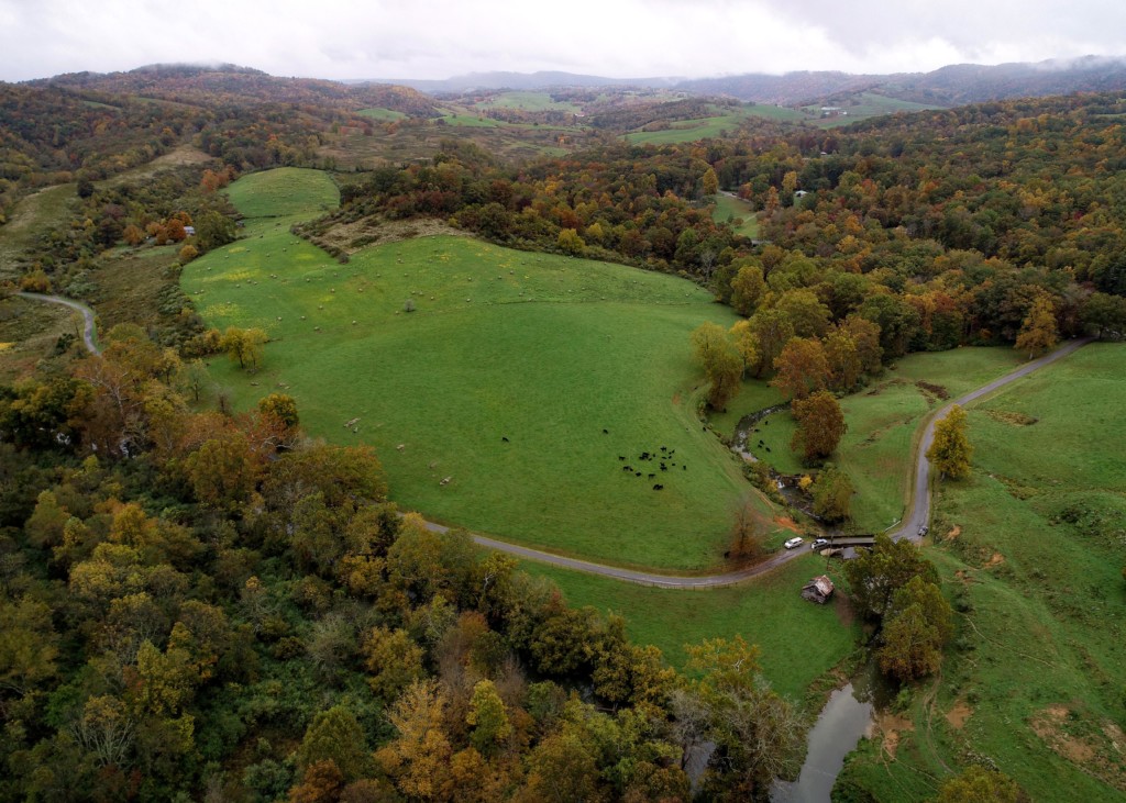
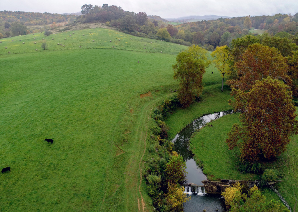
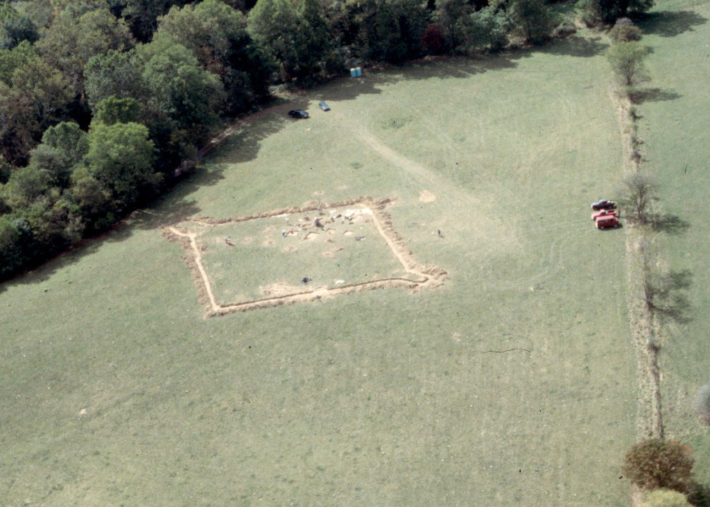
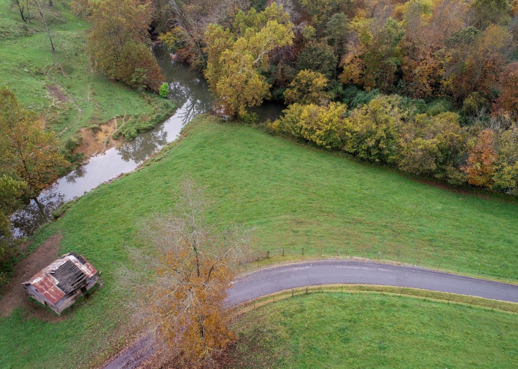
Aerial view of the Arbuckle Fort Site next to Mill Creek | Photo by Adam Webster of the West Virginia Land Trust
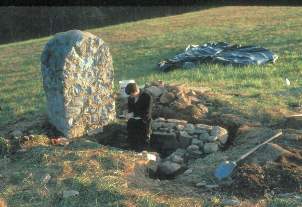
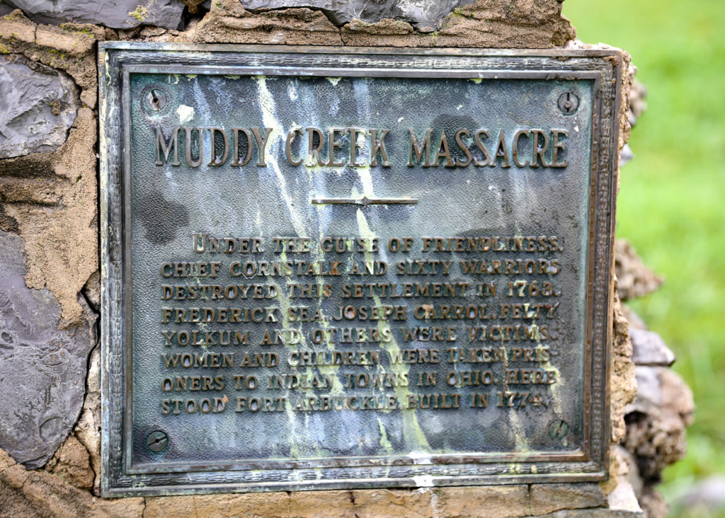
The "Muddy Creek Massacre" monument placed at the site sometime in the 1950's. | Photo by Adam Webster of the West Virginia Land Trust
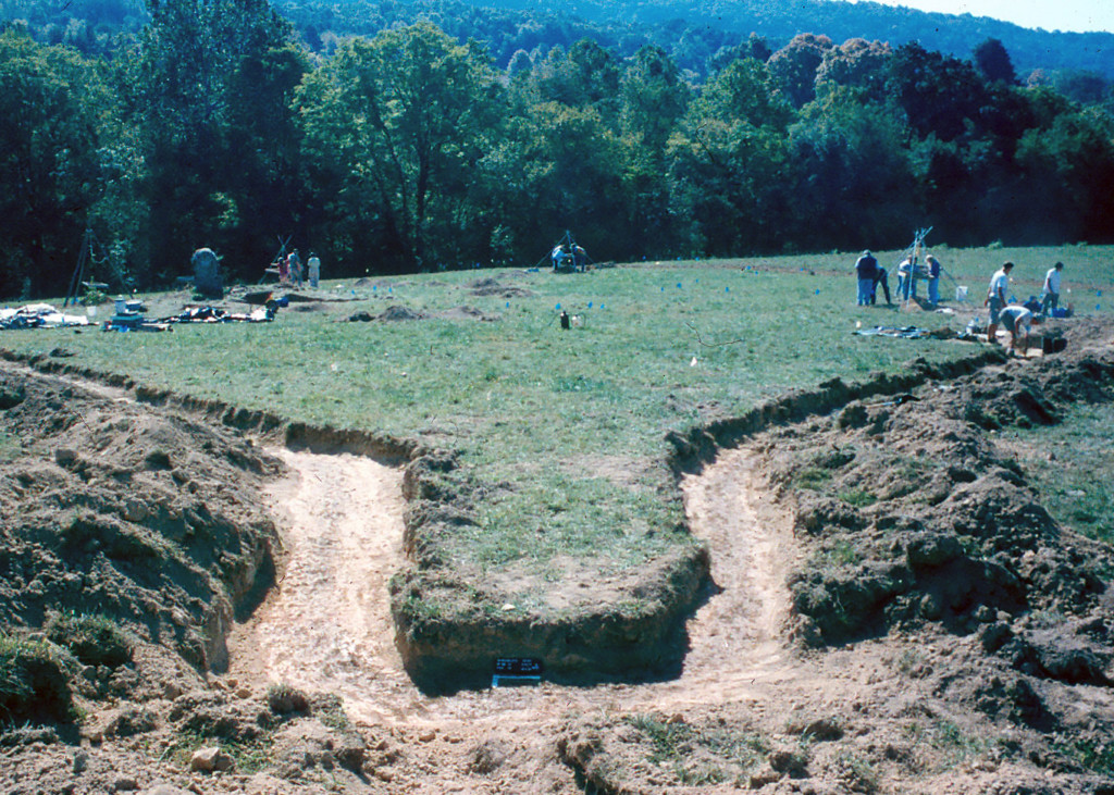
The outline of the stockade during the McBride Excavations in the early 2000's. | Photo courtesy of Drs. Kim and Stephen McBride
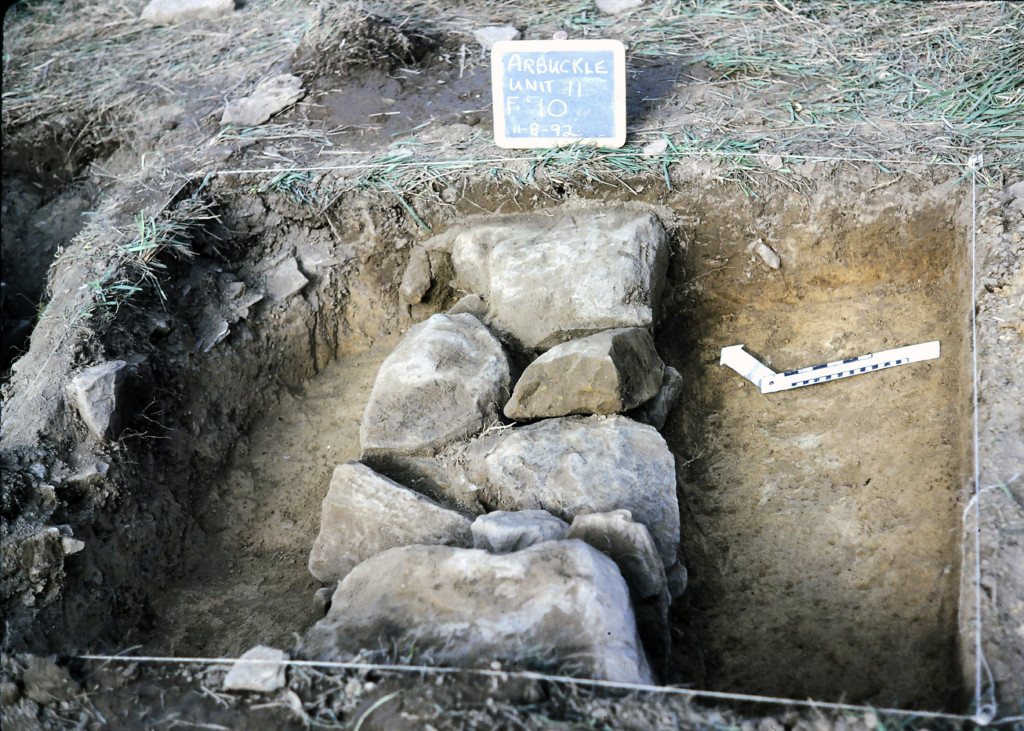
The blockhouse foundation during excavations. | Photo courtesy of Drs. Kim and Stephen McBride
Excavation of the earlier stockade line. | Photo courtesy of The American Museum of Natural History.
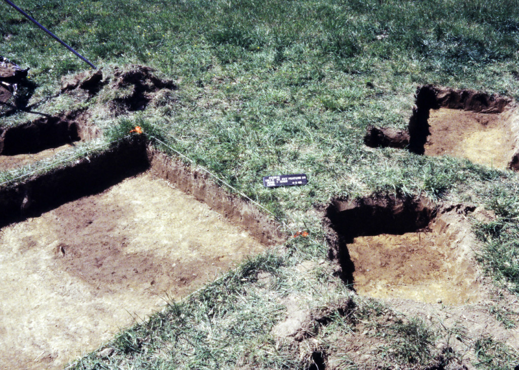
The northern bastion and stockade line during excavations. | Photo courtesy of Drs. Kim and Stephen McBride
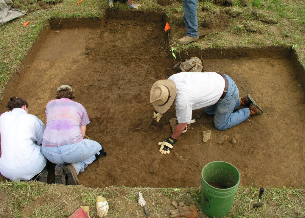
Behind the scenes at the McBride excavations of the early 2000's. | Photo courtesy of Drs. Kim and Stephen McBride
Behind the scenes at the McBride excavations of the early 2000's. | Photo courtesy of Drs. Kim and Stephen McBride
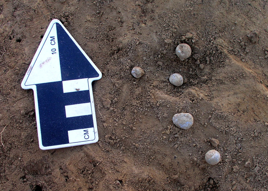
Musket balls in situ. | Photo courtesy of Drs. Kim and Stephen McBride
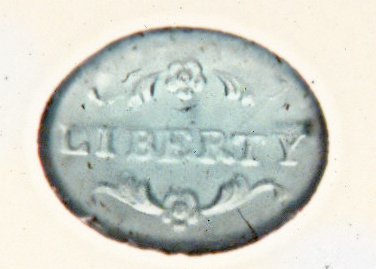
The Liberty stamp seal discovered during excavations that is uniquely tied to statements made in journals by Matthew Arbuckle, the early pioneer responsible for the building the fort in the late 18th century. | Photo courtesy of Drs. Kim and Stephen McBride
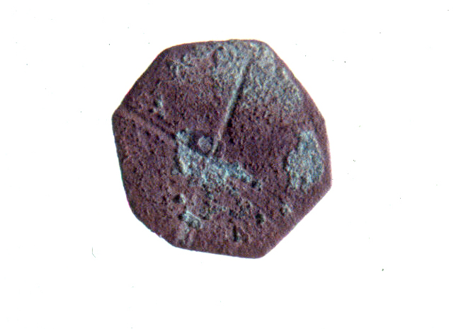
A brass amulet with an "X" carved on one side that suggests there may have been an African American blacksmith at Arbuckle's Fort. | Photo courtesy of Drs. Kim and Stephen McBride
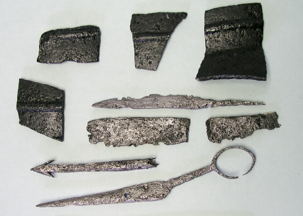
Cast iron fragments, a gig, a file, and scissors found in the cook area of the fort. | Photo courtesy of Drs. Kim and Stephen McBride
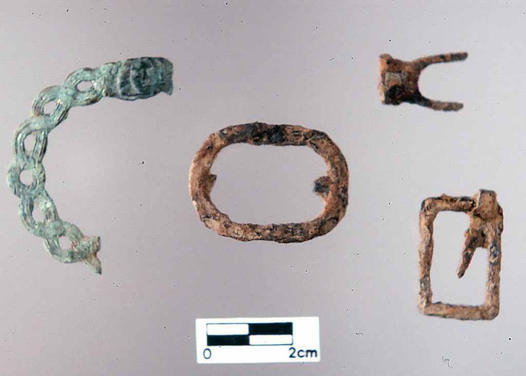
Brass buckle scraps found in the blacksmithing area. | Photo courtesy of Drs. Kim and Stephen McBride
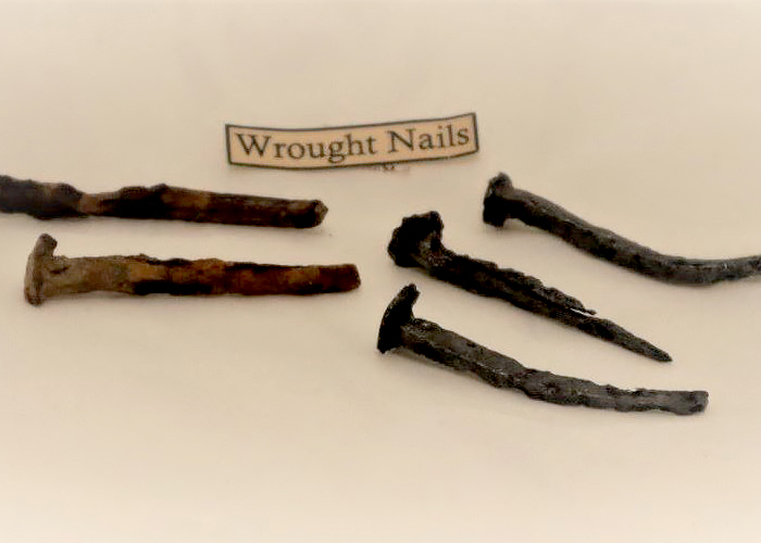
Wrought nails found during excavations. | Photo courtesy of Drs. Kim and Stephen McBride
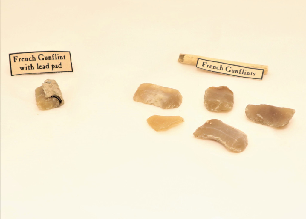
French gunflints and a lead pad found at the Arbuckle site. | Photo courtesy of Drs. Kim and Stephen McBride
Aerial view of the Lewis Cabin which sits at the confluence of Mill and Muddy Creeks. | Photo by Adam Webster of the West Virginia Land Trust
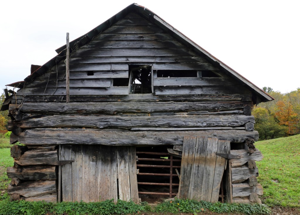
Close-up of the Lewis Cabin, which was moved here from another location sometime in around 1830. | Photo by Adam Webster of the West Virginia Land Trust
Another view of the Lewis Cabin. | Photo by Adam Webster of the West Virginia Land Trust
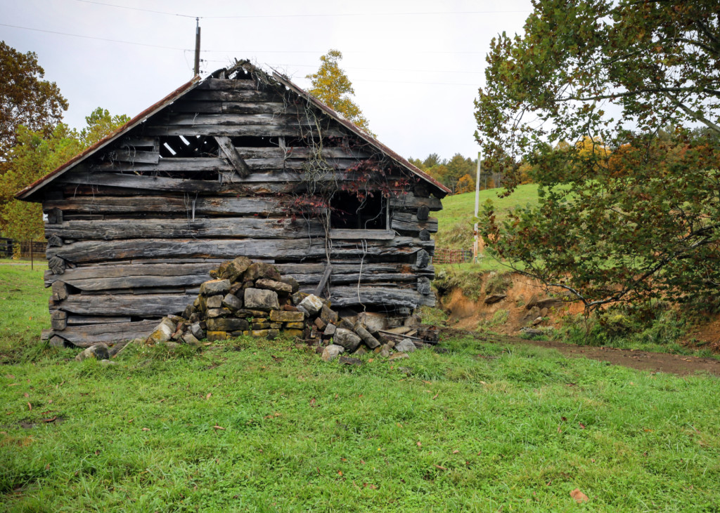
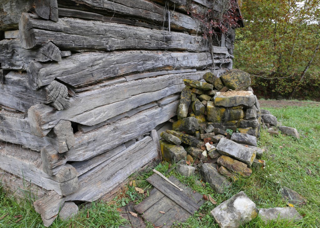
Detail of the some of the features still remaining at the Lewis Cabin.. | Photo by Adam Webster of the West Virginia Land Trust
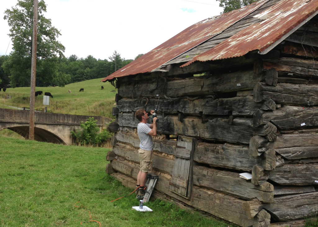
Dendrochronologist Kristen de Graauw, right, conducted a research study to date the timber at the Lewis Cabin in the early 2000's. | Photo courtesy of Drs. Kim and Stephen McBride
Core samples being taken for Kristen de Graauw's dendrochronology research at the Lewis Cabin. | Photo courtesy of Drs. Kim and Stephen McBride
Mid to late archaic artifacts found near the main fort enclosure are evidence that the site has been used for thousands of years. | Photo courtesy of Drs. Kim and Stephen McBride

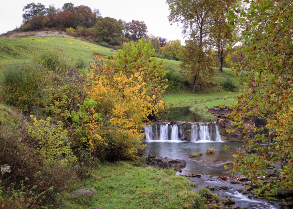
Mill Creek, pictured here next to the fort site, would have been a main contributor to the selection of the structure's location. | Photo by Adam Webster of the West Virginia Land Trust
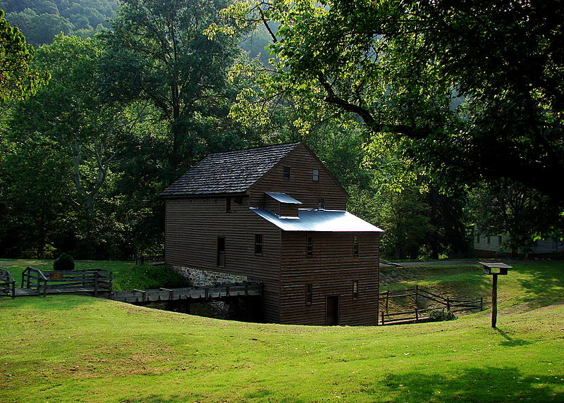
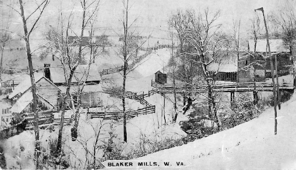
A vintage photo of Blaker Mills before it was moved piece-by-piece to its current location in Weston. | Photo courtesy of Drs. Kim and Stephen McBride
Blaker Mill as it stands today in Weston. | Photo courtesy of Drs. Kim and Stephen McBride